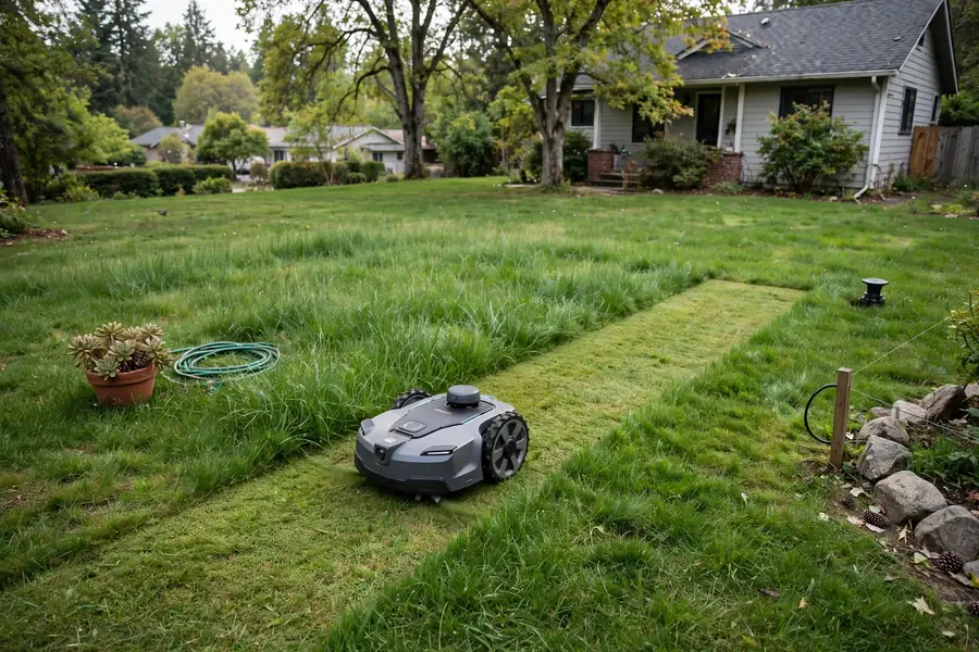
Robot mower navigation systems decide how a mower knows where it is, where the edge of the lawn is, and where it has already cut. In short, GPS gives a rough position from satellites, RTK adds a correction signal that can make it much more precise, cameras help a mower see edges and obstacles, and LiDAR uses light pulses to map nearby surfaces.
Many mowers combine two or more methods, while others still rely mainly on a buried boundary wire. No single approach suits every garden, and two mowers that both say “GPS” may navigate very differently. This guide explains each type of robot mower positioning technology in plain language, its limits, and how to match it to your garden. It does not rank models; for model-specific details, always check the manual.
What Robot Mower Navigation Has to Do
Navigation has three main jobs: stay inside the lawn and avoid flower beds, paths, ponds, and driveways; cover the lawn reasonably evenly; and find its way back to the charging station, work around obstacles, and cope when conditions change — for example, when a garden chair moves. Some systems are good at precise positioning but need a clear view of the sky. Others work well under trees but need enough light or clear visual features.
How GPS Works in a Robot Mower
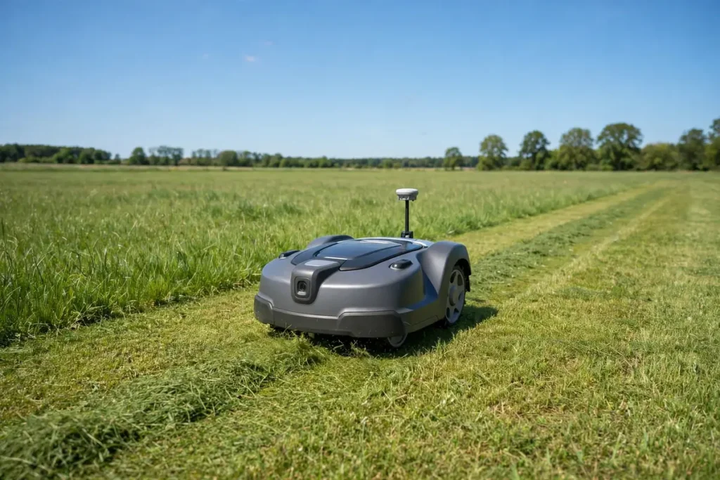
A GPS robotic lawn mower receives signals from satellites to estimate its position. Because it does not need a boundary wire to know roughly where it is, satellite navigation is often associated with wire-free mowing.
Standard GPS on its own, however, is not usually precise enough to keep a mower neatly inside a narrow lawn edge: its position can drift by a metre or more. GPS is therefore often one part of a larger system, combined with wheel sensors or a compass. The exact combination varies by model, so “GPS navigation” is a broad label, not a single design.
GPS needs a reasonably clear view of the sky. Tall buildings, dense tree cover, and steep banks can block or reflect satellite signals. If the mower loses a reliable fix, it may pause or return to its dock. GPS alone also does not tell a mower where your flower beds are: it still needs a map of the lawn boundary.
What RTK Adds to GPS
RTK stands for Real-Time Kinematic positioning. An RTK robot mower uses GPS signals plus a correction signal from a reference station at a known, fixed location. That station compares the satellite signals it receives with where it knows it actually is, then sends corrections that help the mower refine its position — often well within the width of a mowing strip, when conditions are good. This is why RTK is often linked to wire-free mowers that follow straight, parallel lines.
RTK still needs satellite signals, so it shares many of GPS’s sky-visibility limits. It also needs a reliable correction source: a base station supplied with the mower or a correction service delivered over a network connection. Setup, range, and placement vary by model, so do not assume every RTK system works the same way.
A base station usually needs a clear view of the sky, a stable position, and power, and it may need to stay within a certain distance of the lawn. A network service needs a suitable data connection in the garden instead. Dense trees and buildings can still reduce RTK accuracy.
Camera Navigation: What the Mower Can See
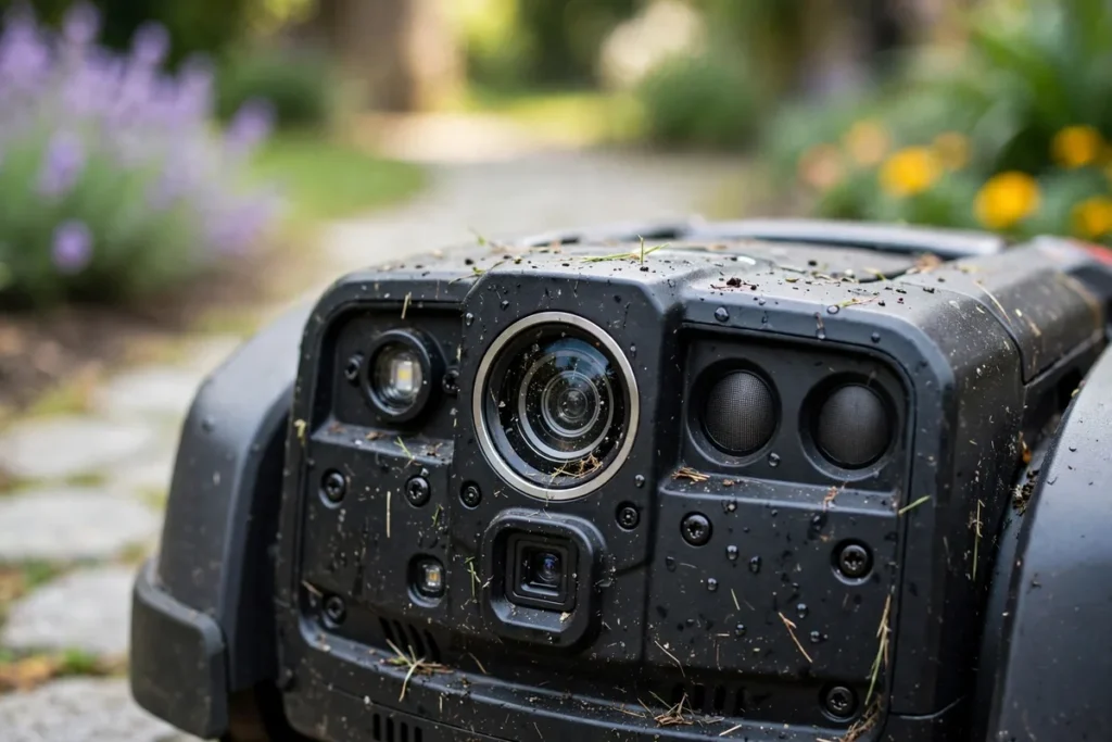
A camera navigation robot mower uses cameras to gather visual information. Depending on the design, they may help it recognise the edge between grass and a path, follow features such as fences, spot obstacles, or build and update a map.
Camera systems can be useful where satellite signals are weak, for example in a garden partly shaded by trees. They can also help a mower react to visible changes, such as a ball left on the lawn. Some are designed mainly for obstacle avoidance, while others play a larger role in positioning and mapping — a mower with a camera for avoiding objects is not necessarily using it to know its exact position.
Cameras depend on light and visible features, so performance can change at dawn, in heavy shade, in glare, or in rain, fog, and snow. Many systems combine camera data with other sensors. Keep the lens clean as instructed, switch the mower off before cleaning it, and never use a pressure washer unless the manufacturer explicitly says it is safe. Also check the manufacturer’s privacy information, as a camera may capture images of your garden.
LiDAR Navigation: Mapping With Light
LiDAR stands for Light Detection and Ranging. A LiDAR robot mower sends out pulses of light and measures how long they take to bounce back from nearby objects, building a map of distances to fences, walls, and trees. It can work in low light because it supplies its own light pulses. Some systems use LiDAR mainly for mapping, others mainly for obstacle detection, and some combine it with cameras, GPS, RTK, or a boundary wire.
LiDAR also has limits. Very dark, shiny, transparent, or thin objects may not reflect light predictably, and low branches and small toys may be harder to detect than a solid fence. Rain, fog, and dirt on the sensor can affect performance. Do not assume that “LiDAR” guarantees a particular level of accuracy: the sensor, its placement, and the software all affect the result.
How Robot Mower Navigation Systems Compare
| System | Main strength | Main dependency | Common weakness |
|---|---|---|---|
| Standard GPS | Rough position without a buried wire | Clear view of satellites | Position can drift near buildings and trees |
| RTK GPS | More precise positioning when corrections are available | Satellites plus a correction source | Still needs sky visibility; setup varies |
| Camera | Recognises edges and visible obstacles | Light and clear visual features | Changes with light, weather, and seasons |
| LiDAR | Builds a distance map; works in low light | Clear sensor view and nearby surfaces | May miss thin, low, or shiny objects |
| Boundary wire | Clear physical boundary in many gardens | Correct installation and a working signal | Needs wire laying and repair |
Many mowers combine systems: RTK may give precise positioning in open areas, while a camera helps with obstacles. Look at how the systems work together, not just which words appear in the feature list.
Matching Navigation to Your Garden
An open lawn with a clear view of the sky often suits satellite navigation, including RTK. Even here, check the edges: a lawn beside a tall wall or dense hedge may have shaded strips where positioning is less reliable. Also check what happens when the mower loses its position — does it stop, return to the dock, or send an app alert?
A garden with mature trees or a house shading part of the lawn can be harder for GPS and RTK, especially when the canopy is full in summer. Camera and LiDAR systems may help there, but they need clear visual or reflective features. A boundary-wire system may be more predictable in a heavily shaded garden, because it does not rely on the sky. Remember that a garden open in winter may be heavily shaded in summer.
Small, complex gardens with narrow passages need precise positioning and the ability to turn and pass through gaps without getting stuck. Check the minimum passage width and measure your garden rather than guessing. For large gardens, check that accuracy holds across the whole area and, for RTK, that the correction source covers the far end. For multi-zone gardens, ask how the mower travels between zones: some can cross a path on their own, while others need to be carried.
Safety and Practical Checks
Before first use, and after any change to the garden or map, walk the lawn and remove stones, toys, cables, and tools that could damage the blades or be thrown by the mower. Keep children and pets away while it is running, and follow the manual for safe stopping, lifting, and cleaning. Do not bypass safety features or disable sensors. If it repeatedly leaves its mapped area or gets stuck, stop it safely, check the boundary or map, clean the sensors as instructed, and contact the manufacturer or an authorised service provider if the problem continues. The dock needs level ground, clear space, and a suitable power supply; for satellite systems, it and any base station may also need a clear view of the sky.
Questions to Ask When Comparing Models
Ask: which positioning methods does this model use, and how do they work together? Does it need a boundary wire, a base station, or a network correction service? How is the lawn mapped, and how do I update it? What happens when signals become weak? How does it handle narrow passages, multiple zones, and no-go areas? What are the dock placement requirements, and how do I clean the sensors?
Conclusion
GPS gives a useful rough position from satellites. RTK can refine it with corrections, when the correction source and sky visibility allow. Cameras help a mower see edges and obstacles, when light allows. LiDAR builds a distance map with light pulses, when surfaces reflect that light clearly.
The best choice depends less on which technology sounds most advanced and more on how well it fits your lawn’s size, shape, shade, obstacles, and connectivity. Walk the garden, check the manual, and compare how each system handles weak signals. A mower that knows its limits — and tells you when it has reached them — is usually easier to own than one that promises to work everywhere.
For more buying guidance, see the Robot Mower Buying Guides.
Frequently Asked Questions
Do all GPS robot mowers work without a boundary wire?
No. Some GPS robotic lawn mower models are wire-free, while others use GPS alongside a boundary wire. “GPS” describes a positioning source, not a complete boundary system. Check the manual to see whether your model needs a wire, a mapping run, or both.
Is an RTK robot mower always more accurate than a GPS-only mower?
RTK can be more precise with good satellite signals and a reliable correction source, but it is not automatically more accurate in every garden. Dense trees, buildings, poor base-station placement, or a weak correction connection can reduce its advantage.
Can a camera navigation robot mower work at night?
It depends on the model. Some camera systems need daylight, while others use additional lighting or infrared cameras to help in low light. Check the manual for whether night mowing is supported.
Does a LiDAR robot mower need a clear view of the sky?
LiDAR itself does not need satellites, so it can work under trees or near buildings where GPS is weak. However, a LiDAR robot mower may still use GPS or RTK for part of its positioning. It also needs a clear sensor view and suitable nearby surfaces to map reliably.
What should I do if my robot mower keeps losing its position?
Stop the mower safely and check the manual. Look for blocked sky views, a moved base station, dirty sensors, recent garden changes, and weak connectivity. Clean sensors only as instructed, update the map if needed, and contact the manufacturer or an authorised service provider if the problem continues.
Can I change the navigation system on a mower I already own?
Usually not. The navigation system is built into the mower’s hardware and software, so you cannot normally add RTK, a camera, or LiDAR to a model that was not designed for it. You can often improve performance by updating the map, improving dock placement, clearing obstructions, and keeping sensors clean, within the limits in the manual.